Copyright © 2020 Tim Messick. All rights reserved.
See also Tim Messick Photography and the Bodie Hills Plants blog.


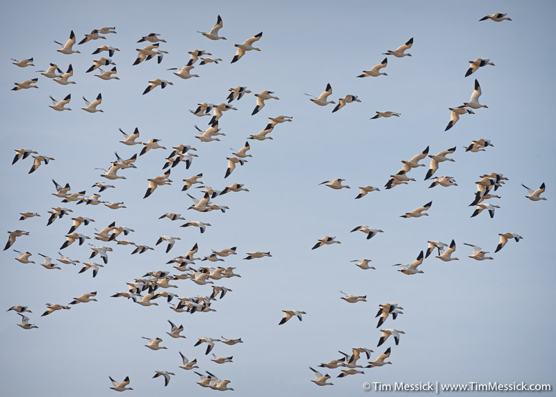
Copyright © 2020 Tim Messick. All rights reserved.
See also Tim Messick Photography and the Bodie Hills Plants blog.
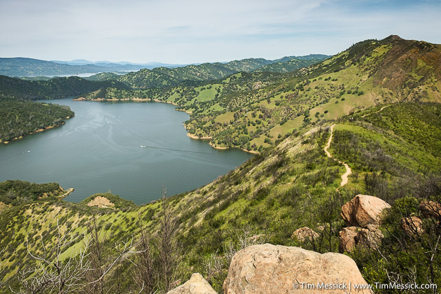
Lake Berryessa from Blue Ridge, west of Cold Canyon.
I’ve had the pleasure recently of working with my college buddy Marc Hoshovsky and several other talented folks on some maps and other graphics for a new book, just published by Backcountry Press, titled Exploring the Berryessa Region: A Geology, Nature, and History Tour. In addition to Marc, contributors include the late Eldridge Moores (geologist at UC Davis, to whom the book is dedicated), Judy Moores (wife of Eldridge and co-founder of Explorit Science Center in Davis), Peter Schiffman (Professor Emeritus and Research Geologist Emeritus at UC Davis), and Bob Schneider (cofounder of the California Wilderness Coalition, cofounder of Tuleyome, and advocate for the designation of Berryessa Snow Mountain National Monument).
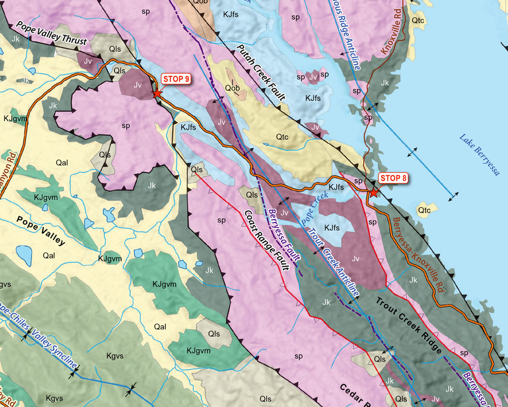
Detail from one of the geology maps
The Berryessa Region includes the south end of Berryessa Snow Mountain National Monument and a geographically diverse cross section of California’s Inner North Coast Ranges. The emphasis of the book is on the unique geology of the Lake Berryessa region and draws significantly from Eldridge Moores’ pioneering work on plate tectonics. (You may have encountered Moores’ work already through John McPhee’s book Assembling California). The geology here is complex, but explained clearly, along with connections to the ecology and human history of the area.
The book includes detailed new maps—combining information from other published and digital sources—of geology, fire history, conservation lands, and historic Mexican land grants throughout the Berryessa region. Several other figures are new or redrawn from other sources.
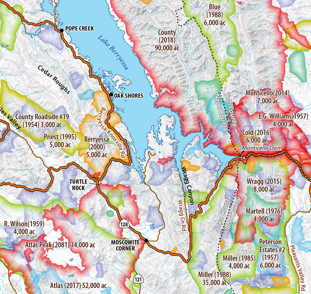
Detail from the fire history map
So, if you like exploring the Berryessa region, or if you’ve ever wondered why there are such steeply tilted layers of rock near Monticello Dam and in the mountains west of there, check it out. The e-book version (a downloadable PDF) is available for purchase now, and the paperback book can be pre-ordered with delivery expected in late June, 2020. To order, visit Exploring the Berryessa Region at Backcountry Press. Books can also be purchased from the authors at Bob Schneider, verve2006@comcast.net. All of the royalties from the authors’ book sales will be donated to local conservation non-profits.
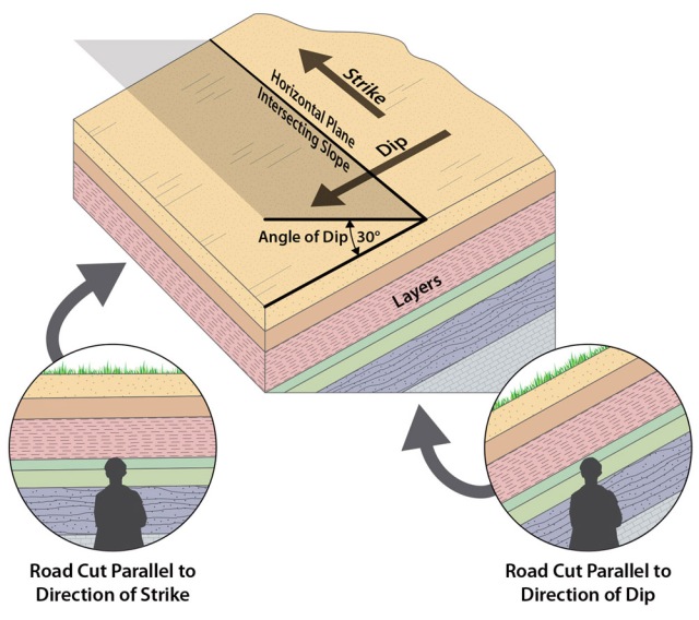
A visual explanation of strike and dip in tilting beds.
Maps & illustration © 2020 by Judith Moores, Marc Hoshovsky,
Peter Schiffman and Bob Schneider.
Photo (not from the book) copyright © 2020 Tim Messick. All rights reserved.
See also Tim Messick Photography and the Bodie Hills Plants blog.
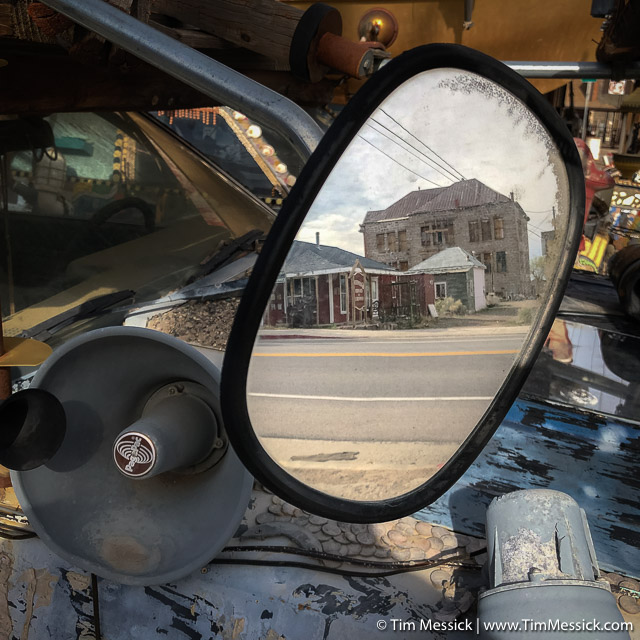
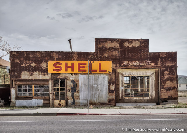
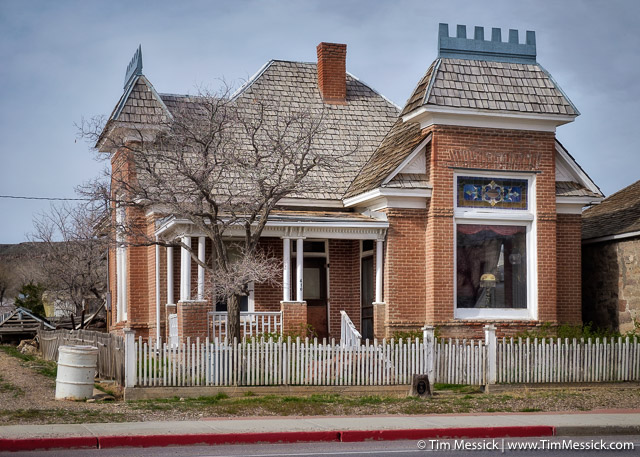
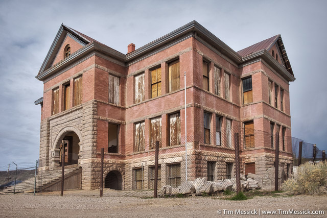
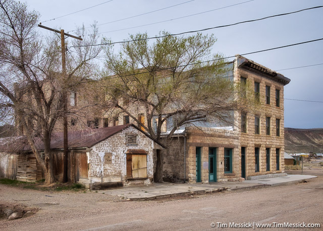
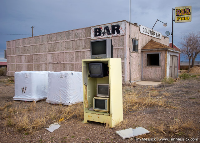
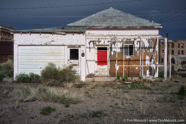
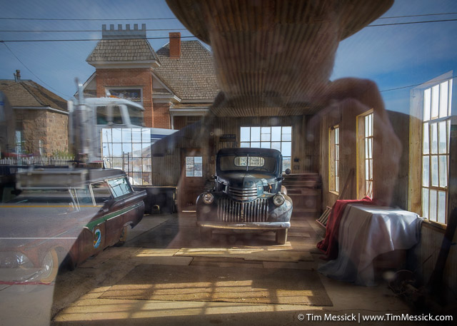
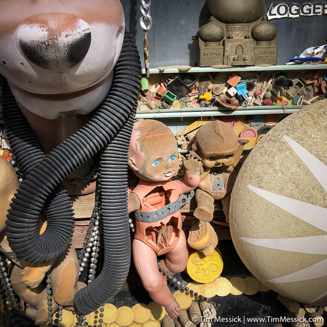
Goldfield is a small city in Esmeralda County, Nevada, that is rich with history and photographic opportunities. The place has a distinct personality—even its own listener-supported radio station. We were lucky to arrive on a morning with dark clouds north and west of town.
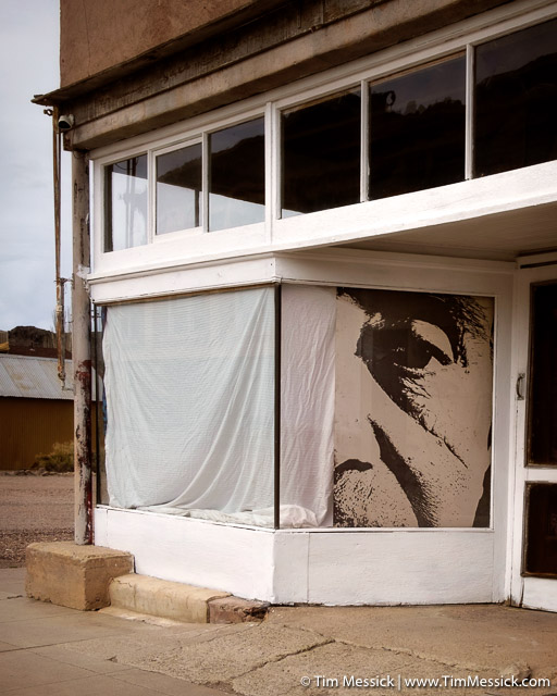
All About Goldfield
Goldfield Historical Society
Walking Tour Booklet and Map
KGFN — Radio Goldfield — Live on your favorite radio app (I like Simple Radio)
Goldfield Chamber of Commerce
Travel Nevada — Goldfield
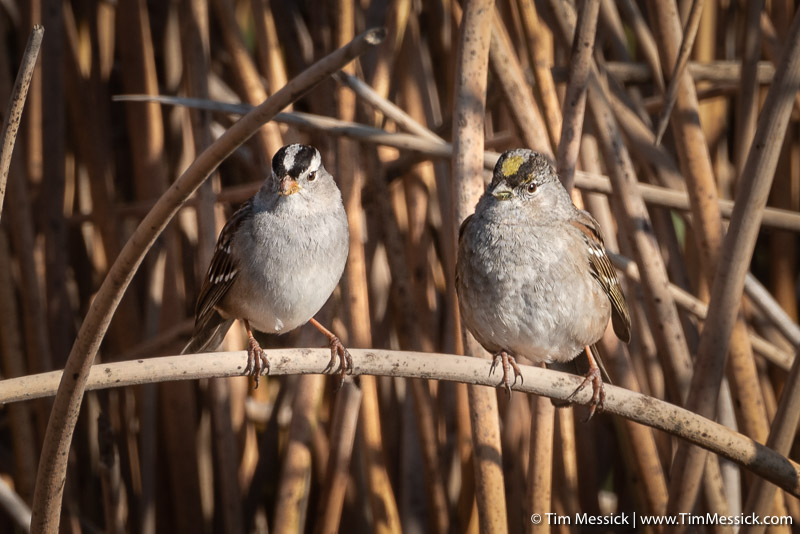
Copyright © 2020 Tim Messick. All rights reserved.
See also Tim Messick Photography and the Bodie Hills Plants blog.
Tonopah, Nevada, has a lot going for it: the Mizpah Hotel, the Clown Motel, the Tonopah Mining Park, the seat of government for Nye County (third largest county, by area, in the United States), and so much more. But Tonopah does not have a campground.
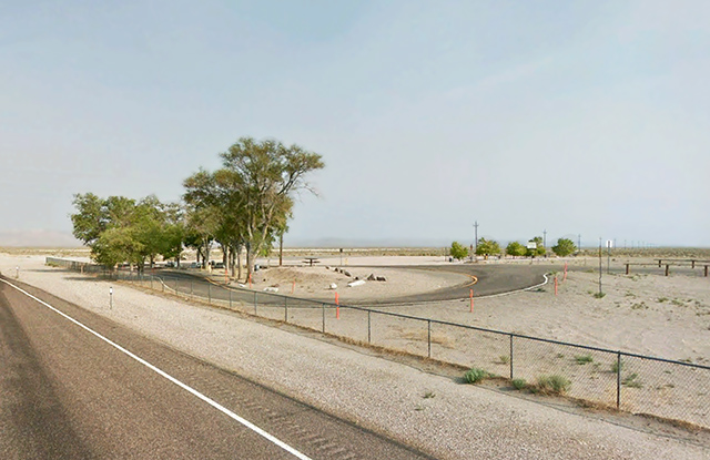
Millers Rest Area (courtesy of Google Street View)
So, on our trek down Highway 95 last year, after dining at the Mizpah, Rick and I pulled into the overnight parking area (a de facto campground) 14 miles west of Tonopah, in Big Smoky Valley, at Millers Rest Area. The scenery was great (telephoto lens helpful), the traffic fairly minimal, the night sky dark, the facilities simple but adequate, and the price very reasonable ($0.00).
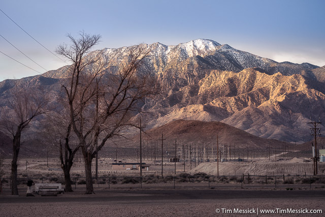
Lone Mountain and the Millers Substation
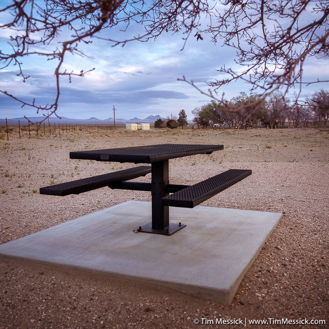
A well furnished campsite
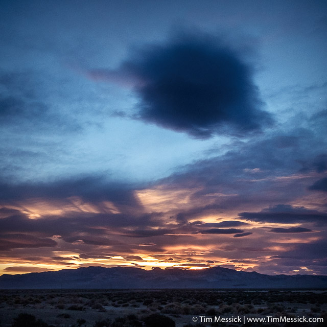
Sunset over the Monte Cristo Range
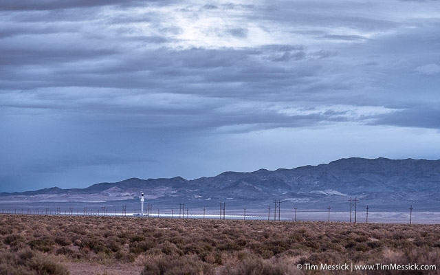
Crescent Dunes Solar Energy Project
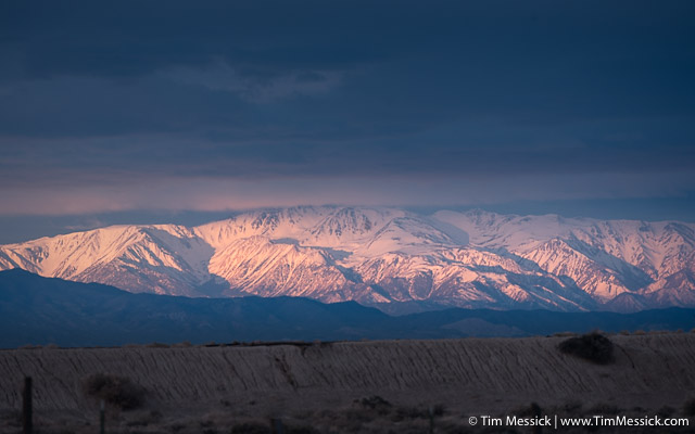
Sunrise—east side of the White Mountains (mid-April)
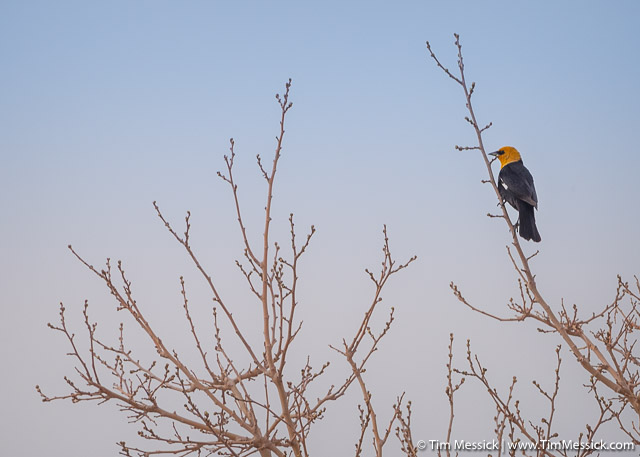
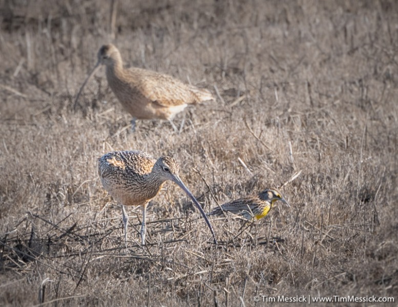
An unexpected morning visitor (Yellow-headed blackbird)

A forgotten visitor
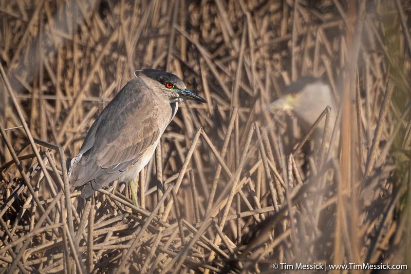
Copyright © 2020 Tim Messick. All rights reserved.
See also Tim Messick Photography and the Bodie Hills Plants blog.
